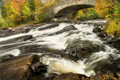
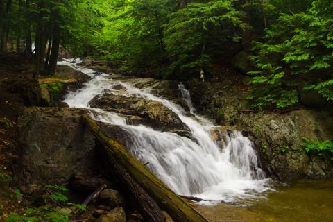
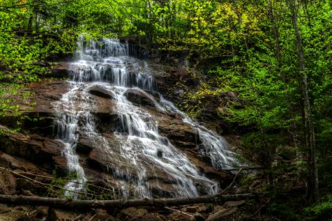
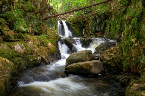
Best Adirondack Waterfall Hikes
Why are we drawn to the majestic cascade of water as it drops and falls? Is it the elemental force, the power to carve the landscape to fit, to find a way across cliffs and mountains, through valleys and deep forests? Or is it simply that the same gravity that pulls water to earth, pulls us to water?
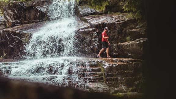
Have you experienced the beauty of a majestic Adirondack waterfall? With tree-lined paths leading to cascading water flowing over rock ledges, waterfalls provide a destination worth the journey.